When National Oceanic and Atmospheric Administration (NOAA) released its official outlook for the 2026 Atlantic hurricane season on Thursday, the message was surprisingly calm: expect a below-average year. The agency predicts between 8 and 14 named storms, with only 3 to 6 becoming hurricanes and just 1 to 3 reaching major Category 3 or higher status. For coastal residents who have endured increasingly volatile seasons, this forecast offers a brief reprieve—but it comes with a significant caveat regarding where those storms might form.
The primary driver behind this quieter forecast is the return of El Niño, a climate pattern that typically suppresses tropical development in the Atlantic. While ocean temperatures are expected to be above average—a condition that usually fuels storm formation—NOAA’s government forecasters believe the developing El Niño will likely overpower that heat. It’s a climatic tug-of-war, and right now, the wind shear associated with El Niño seems to be winning.
The El Niño Factor Explained
To understand why this season looks different, you have to look at the Pacific Ocean. NOAA Climate.gov notes that the recent La Niña conditions ended after just a few months, leaving the tropical Pacific in an ENSO-neutral state. This neutral phase is expected to last through the Northern Hemisphere summer, but forecasters see El Niño conditions emerging as the dominant force by the time hurricane season peaks in late summer and fall.
Here’s the thing about El Niño: it weakens trade winds, allowing warm water to push east toward the Americas. This shift moves the Pacific jet stream south, which creates strong vertical wind shear over the Atlantic. Think of wind shear like a blender; it tears apart developing storms before they can organize. As National Weather Service office in Jackson, Mississippi, explains, these events generally result in fewer hurricanes than normal during the peak of the season.
Where the Danger Still Lies
But don’t pack away your emergency kits just yet. Bryan Norcross, Hurricane Specialist at FOX Weather, points out a critical nuance in the forecast. While a strong El Niño may virtually shut down hurricane formation in the open waters of the Atlantic, it doesn’t stop all activity.
So-called “homegrown” tropical systems can still form in the northern Gulf of Mexico and along the Southeast coast. These regions tend to generate storms independently of the broader Atlantic basin dynamics, particularly during the first half of the season. If a storm forms close to land, it has less distance to travel and more time to intensify before making landfall, posing a direct threat to communities from Florida to Texas.
Broader Weather Impacts
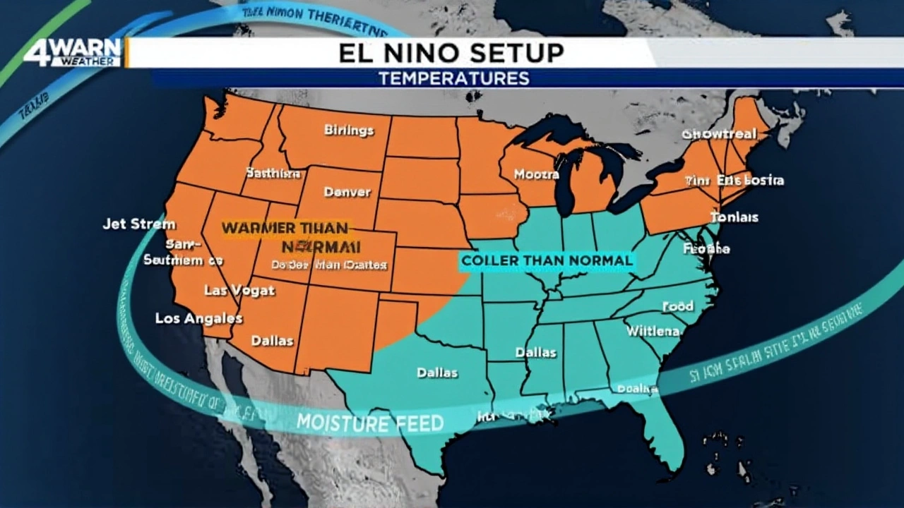
The influence of El Niño extends far beyond hurricane counts. According to NOAA’s National Ocean Service, the shifting jet stream brings distinct regional weather patterns. Areas in the northern U.S. and Canada often experience drier and warmer-than-usual conditions. Conversely, the U.S. Gulf Coast and Southeast face wetter periods with increased flooding risks.
This contrasts sharply with La Niña years, which typically drive drought in the South and heavy rains in the Pacific Northwest. Since we are transitioning from a brief La Niña to El Niño, weather patterns across the continent are set to flip. Residents in the Southeast should prepare for heavier rainfall, while those in the North might see a milder winter.

What Experts Are Watching
Some meteorologists, including teams at Colorado State University (CSU), are monitoring the potential for a “Super El Niño.” If this stronger variant develops, it could become the single most dominant factor in global tropical weather patterns for 2026. However, the exact strength remains uncertain. The details are still unclear as the Pacific Ocean continues to warm gradually.
Forecasters will continue to update their models monthly. The key question isn’t just whether El Niño arrives, but how quickly it establishes itself. A rapid onset could mean even lower storm counts, while a slow build might allow some early-season activity to slip through the cracks.
Frequently Asked Questions
Why does El Niño reduce hurricane activity?
El Niño increases vertical wind shear in the Atlantic Ocean. Wind shear acts like a blender, disrupting the organized circulation of tropical storms and preventing them from strengthening into hurricanes. This physical barrier makes it difficult for storms to survive in the open Atlantic.
Are there no risks to the Southeast coast?
There are still significant risks. While open-ocean formation is suppressed, "homegrown" storms can develop directly in the Gulf of Mexico or off the Southeast coast. These systems pose a direct threat because they form close to populated areas and can intensify rapidly before landfall.
How long will El Niño last in 2026?
NOAA’s Climate Prediction Center indicates that El Niño conditions are likely to persist through the entire hurricane season. Historically, El Niño episodes last nine to 12 months, meaning its influence could extend well into the following winter.
What is the difference between this forecast and previous years?
Recent years have seen above-average activity driven by La Niña or neutral conditions combined with record-high ocean temperatures. The 2026 forecast marks a shift back to below-average activity due to the suppressive effects of El Niño, though high ocean heat content remains a wildcard.